Thematic Cartography and GIS Information Systems
Tekna Si.S. operates in the field of GIS information systems, thanks to the experience and associated personal training.
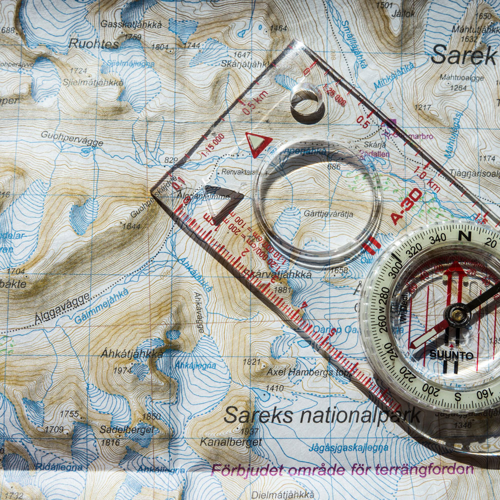
The geological and geothematic cartographic plays a fundamental role for the knowledge of the territory, as a strategic and preparatory element for planning activities in the field of planning and management of the soil and subsoil.
The cartography has the task of representing, using conventional symbols and colors, the basic cognitive framework of the territory, transforming and interpreting all the data sampled according to scientific knowledge. In particular, through the acquisition of land data it is possible to realize the “photograph” of the state of the territory through their subsequent elaboration and representation according to the different themes.
The geothematic cartography represents the development and the deepening of the basic geological cartography in specific fields (eg geomorphological, hydrogeological, geophysical cartography, etc.), with the aim of providing further information, essential for the knowledge of the general risk conditions and vulnerability of the territory.
Cartography has a direct application in the territory for planning, for environmental impact studies, for the use of materials, for the identification of discontinuities and other geological structures, as well as for the characterization of the mechanical properties of outcropping rocks.
The technological revolution of computer systems offers the possibility of improving the cartographic representation: 3-D systems are an example, where three-dimensional visualization allows a more immediate and realistic understanding of the territory.


Reviews
There are no reviews yet.